In July 2009, Dr. Chris Fisher stumbled across an ancient urban megalopolis in Michoacán, Mexico.
Rather than surveying the lost city “by hand,” this National Geographic archaeologist used a new surveying technology — LiDAR, short for Light Detection and Ranging.
According to his project’s Kickstarter page, his LiDAR scan mapped every house foundation, road, and pyramid in high resolution in just 45 minutes, collecting the amount of data that would’ve taken decades by hand.
This made him consider using the same method to scan the entirety of our planet.
Says Dr. Fisher, “It made me wonder — what if we used LiDAR to scan the entire Earth? It would be one of the greatest data sets in human history. A perfect record of our planet at one moment in time. That idea became The Earth Archive, a non-profit organization & mission I launched from the TED Stage in 2019.“
This virtual planet would be accessible to any number of archeologists, ecologists, and earth scientists.
This digital model can also be used to better design sustainable conservation areas and decide which efforts in fighting climate change give the best results.
Currently, Dr. Fisher’s The Earth Active project depends on donations. If you decide to back this project, you’ll be investing in the ultimate gift to future generations.
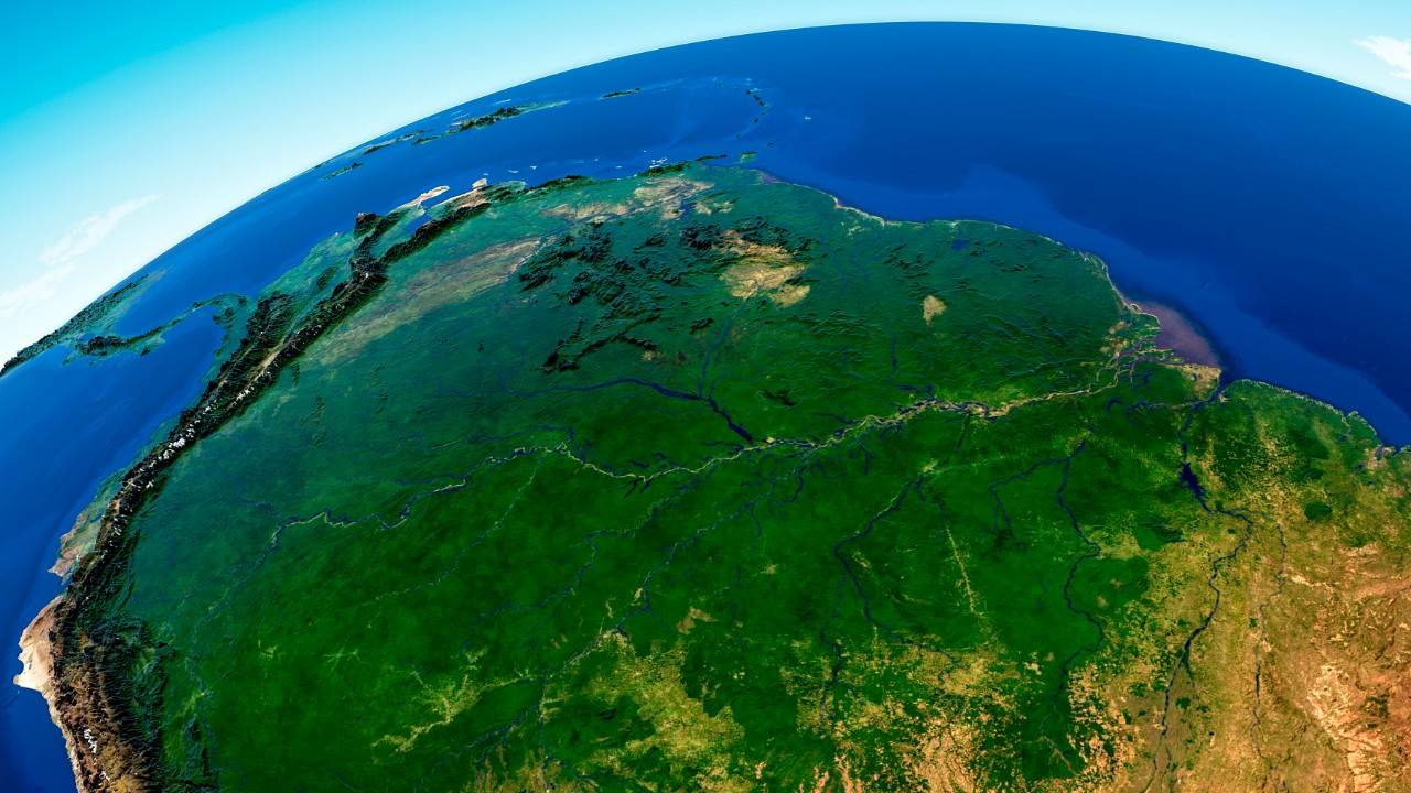
Apart from other prize backs, if you pledge $10 or more, you’ll be able to download the digital scan of the Amazon rainforest — the first region that will be mapped with this breakthrough technology.