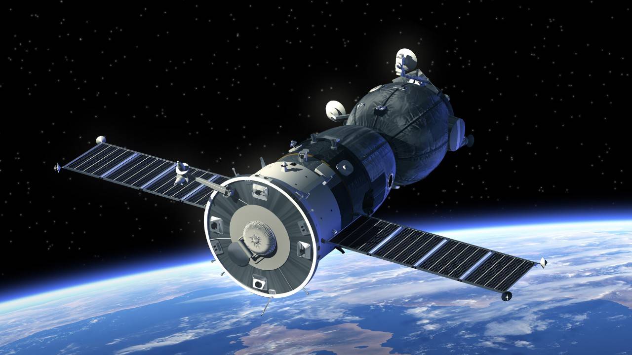
US and European space agencies are jointly deploying a new satellite nicknamed “Climate Guardian” to monitor sea levels in an unprecedented way.
It’s not the first such satellite, but it is its accuracy that stands out the most, as scientists have managed to create never before seen sensitivity.
As reported in AP News, there are considerable consequences to rising sea levels.
“Billions of people living in coastal areas around the planet are at risk in the coming decades as melting polar ice and ocean expansion caused by warming push waters ever higher up the shore.
“We know that sea level is rising,” Aschbacher said. The big question is, by how much, how quickly.”
While scientists have measured sea levels in thousands of places worldwide, this doesn’t provide a uniform picture.The new satellite will take full measurements of the entire globe by orbiting the earth every 10 days.
And because the measuring sensors are a lot more sensitive, scientists will be able to gather a lot more precise data, especially in coastal areas.
This will provide never before seen volumes of data that scientists will use to gain more significant insights into how fast sea levels are rising and which places are most affected.